Last Spring I sat at my desk and pulled out my new planner. I wrote out all the things we would be doing in the fall and felt tired just writing it all down.
A few weeks later I trotted off to the FPEA convention and had a rather eloquent kick in the butt from Sonya Schafer of Simply Charlotte Mason. I went home and stripped my schedule down to the bare bones—and it was still overwhelming.
So I made the decision to start Adventures months earlier than I had initially planned. Early enough to get in at least 10 weeks of school before Classical Conversations, A Year of Skillful Playing, therapy and sports all took off in late August/early September.
I am so grateful for that decision!
We spread our unit on George Washington out over two weeks. In that course of time, Classical Conversations began and our in home therapy sessions started for our youngest boy. Next week, our year with Homegrown Preschooler starts. (Check back for updates!) Its somehow easier to add extras into an already established routine. The boys were eager to add new things in while still adhering to our established rhythm with Adventures. Real life seems a bit more manageable this year! I may have to repeat this schedule for Exploring Countries & Cultures. I always have to remind myself to take advantage of the freedom that comes with homeschooling.
Here is the breakdown on Adventures Week 9: GEORGE WASHINGTON!
(disclaimer) My eldest son is OBSESSED with GW. For his 7th birthday, our entire family dressed up like different Revolutionary war heroes and we spent the morning reenacting different battle scenes. He wanted a GW tshirt and a documentary for his birthday. I knew we needed to spend a few weeks on ol’ George so the booklist is hefty!
Activities:
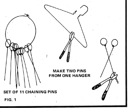
1) Land Survey
Mother Earth News provides a very detailed explanation on how to survey your own land. I was not really up for going all out on this one. I just wanted to give the kids a basic idea of what a teenaged George Washington did to earn his bread and butter. Our homestead is 2.5 acres, flat as a pancake. We made the chaining pins and used a piece of yarn to get our level measurements. It was 92 degrees and we received approx 18 mosquito bites between 5 people in the span of twenty minutes. The boys were thrilled!
2. Indian Hoecakes
Based off one of our booklist treasures, “George Washington’s Breakfast” by Jean Fritz. The boys begged me to cook these little cakes outside in the fire pit on an actual hoe. I was pretty close to complying until I imagined my exhausted husband shaking his weary head and asking, “Sooo how exactly did the fire that ravaged our entire home start?” We stuck to our stove and a regular ol’ frying pan.
3. Fort Necessity
I am so sad I didn’t snap a picture of this activity. The boys built an enormous blanket and pillow fort and had a blast all day inside. We brought in a lantern and knocked 6 books off our list in one afternoon. There was a massive thunderstorm outside which made the fort an extra cozy haven for us.
4. Unsanctioned crossing of the Delaware
I managed to get my two youngest children down for a nap last week. After a night of little rest, I asked the older kids to build legos while I took a quick nap. Whenever my eldest children are left to their own devices, unexpected things happen. Thankfully, the firstborn develops ulcers at the mere whisper of anything unsafe, so I can rest easy. It may be unexpected, but it won’t be dangerous. I woke up 30 minutes later to find the boys floating toy boats filled with soldiers in a bathtub filled with water and ice. I never ever would have thought to do such an activity. They adored it.
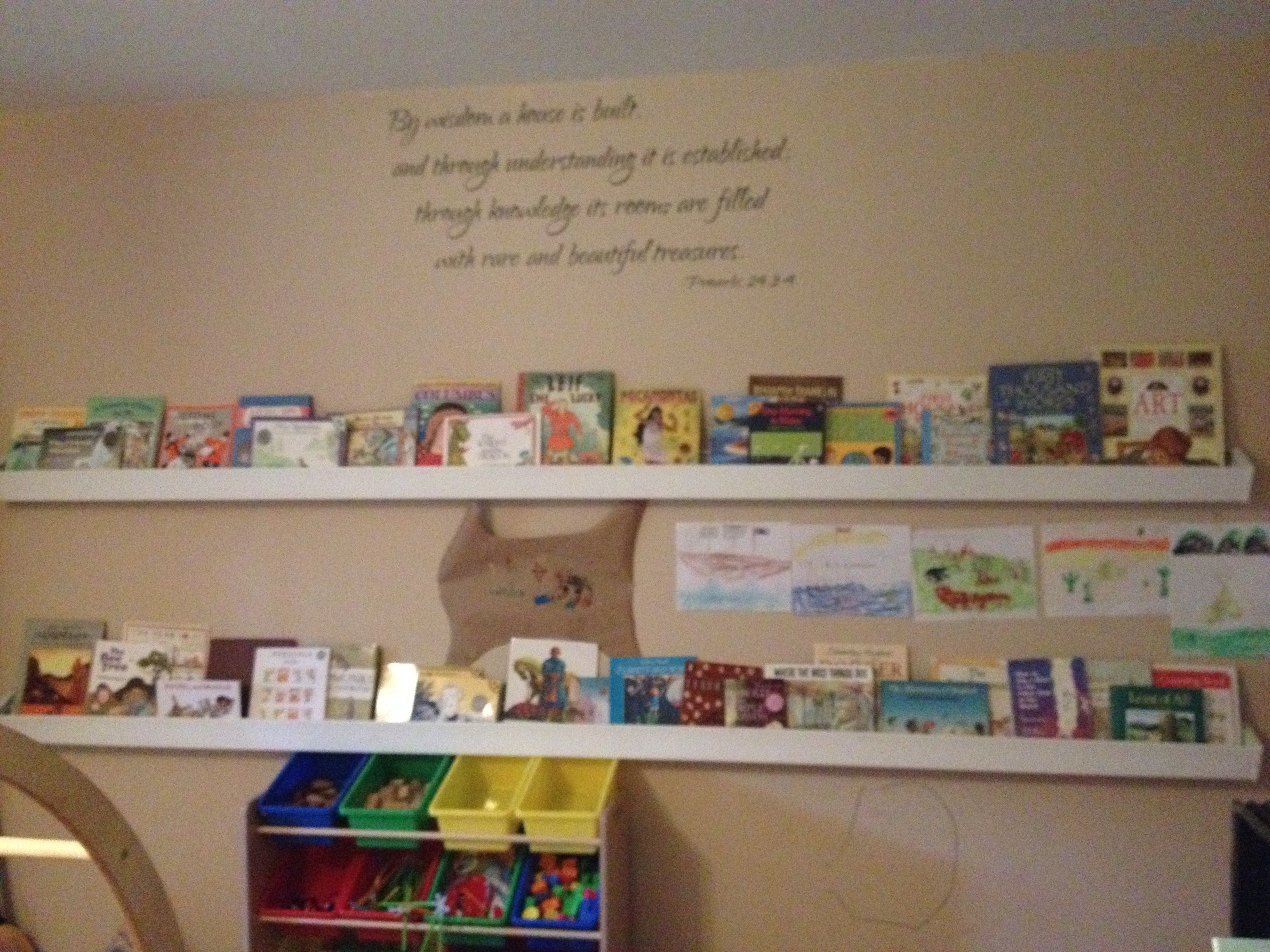
Book List for George Washington Unit
- Benjamin West and his Cat Grimalkin by Marguerite Henry. (Part of our Beautiful Feet book study)
- George Washington’s Breakfast by Jean Fritz
- Phoebe and the Spy by Judith Griffin
- George Washington by Ingri D’aulaire
- A Picture Book of George Washington by David A. Adler
- A Picture Book of Patrick Henry by David A. Adler
- Journey to Monticello by James E. Knight
- The Winter at Valley Forge by James E Knight
- When Washington Crossed the Delaware by James E Knight
- The Cabin Faced West by Jean Fritz
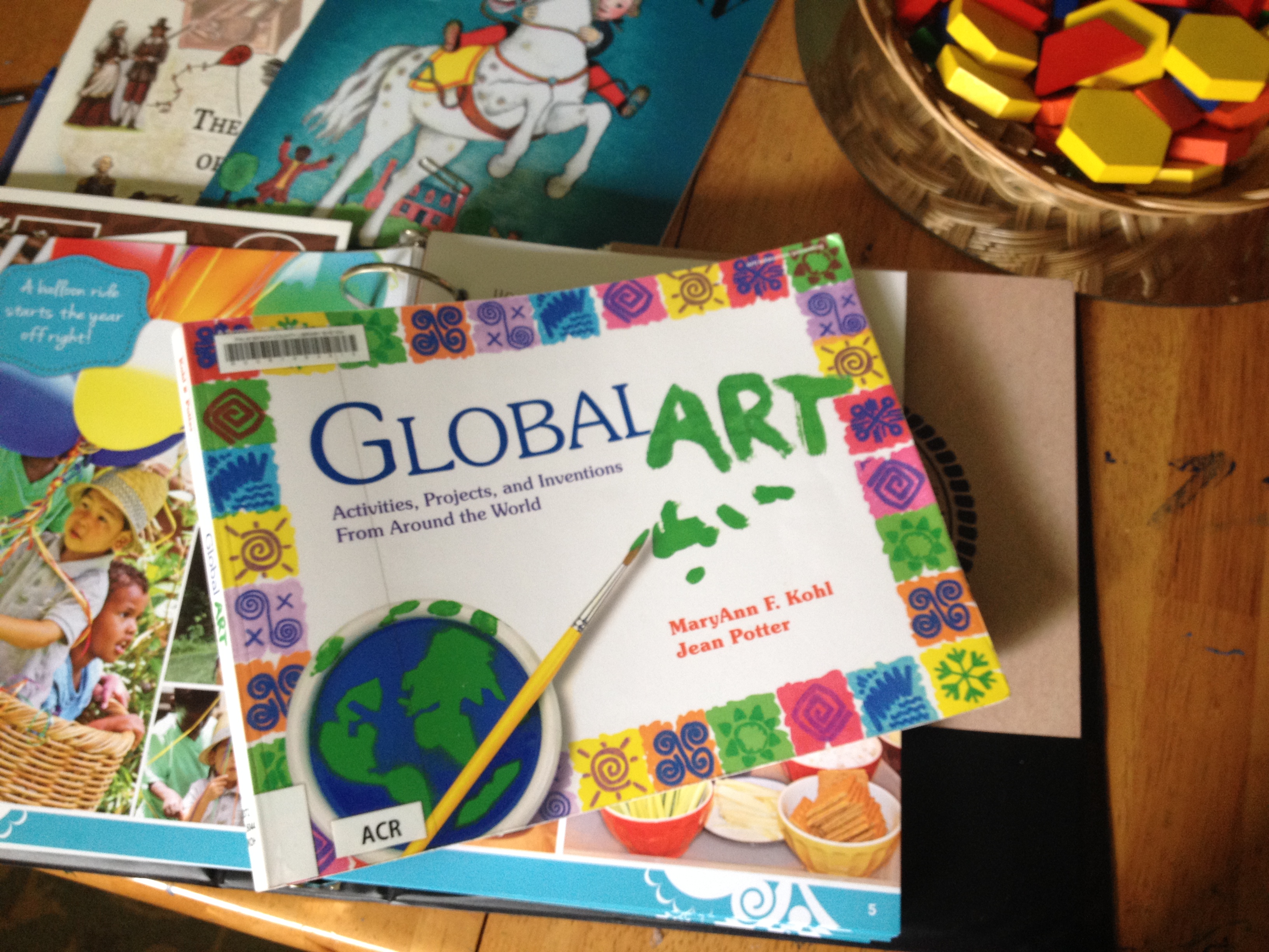
- George Washington’s World by Genevieve Foster
***This book was given to us by another homeschool family. I don’t recommend it for younger children as a stand alone read. Its basically a text book about the world during the time of George Washington. My son is always asking “what else was happening in the world?” whenever we study something (Thanks, Classical Conversations!) and so he loved flipping through this book. - George vs George: The American Revolution as seen from Both Sides by Rosalyn Schanzer
- Paul Revere’s Ride by Henry Wadsworth Longfellow
- Sybil Ludington’s Midnight Ride by Marsha Amstel
- The Story of George Washington by Patricia A. Pingry (board book for littles)
- George Washington and the General’s dog by Frank Murphy
- George Washington: Our First Leader by Augusta Stevenson
- Pauk Revere: Boston Patriot by Augusta Stevenson
- Who was Paul Revere? by Roberta Edwards
- Sarah Witcher’s Story by Elizabeth Yates
- George Washington by Cheryl Harness
 Additional Resources1. Jim Weiss
We love Jim Weiss. We started collecting his stories last year and they are the most requested stories for the CD player each night. For this unit, we enjoyed George Washington: First in the Hearts of his Countrymen.
2. Drive Thru History
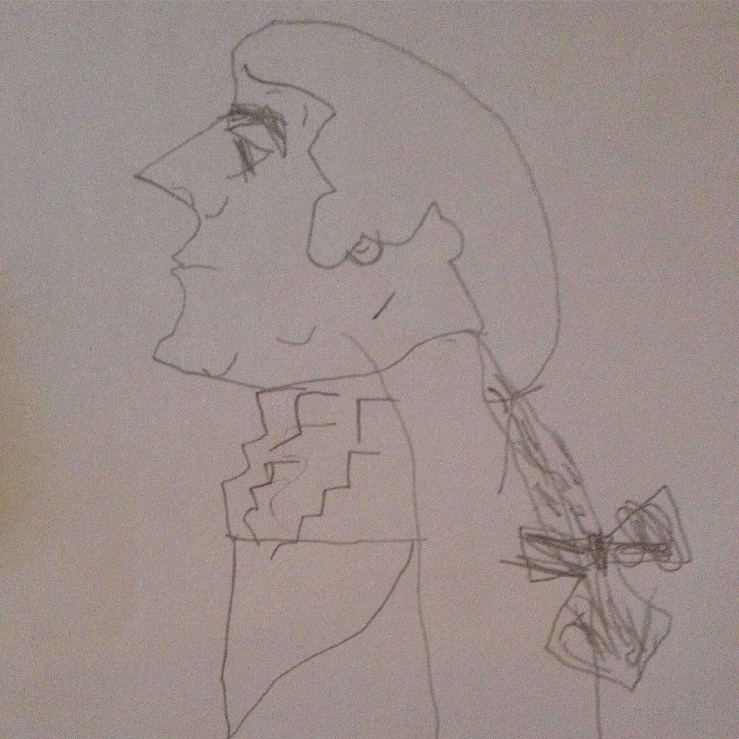
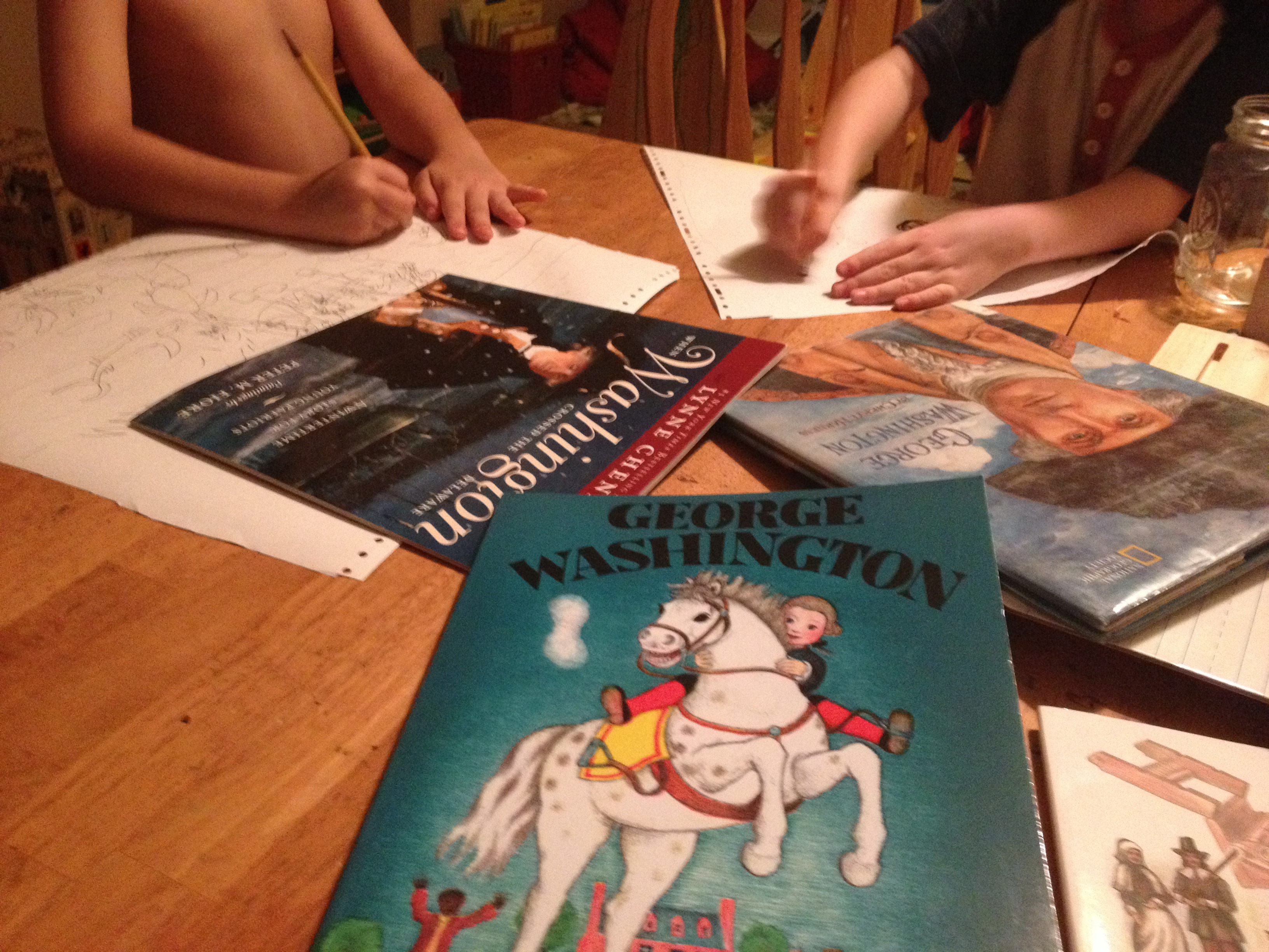
3. For God and Country- Adventures in OdysseyI know—its a huge booklist.But like I said, my kid is a BIG FAN of all things George. The truth is, all these books were one big candy incentive to get my eldest boy motivated to do some ART! And boy did we ever have time to do artwork! Renderings of George as land surveyor, Farmer Washington, Major Washington, General Washington and President of the United States, are now littering the classroom along with a dozen or so gruesome battle scenes. (We are binding all the drawings into one large book for the two boys to enjoy) Before each reading session I would set out basic art supplies and we would spend ten minutes discussing our OiLS concepts from Classical Conversations. Then the boys would begin to draw. We’d stop every few chapters to look at work and discuss what they would be attempting next.It worked! It worked so well. No complaining whatsoever. Glory be!
“Please Mom, read another story and we’ll do more art work.” Music to my ears. I won’t flood my post with pictures of artwork, but I will post one that I am very proud of; my eldest son’s drawing entitled, “Portrait of Reluctant George.” I asked him why he named it that and he responded, “Poor George just wanted to be a farmer after all that fighting. Then they went and made him President!”

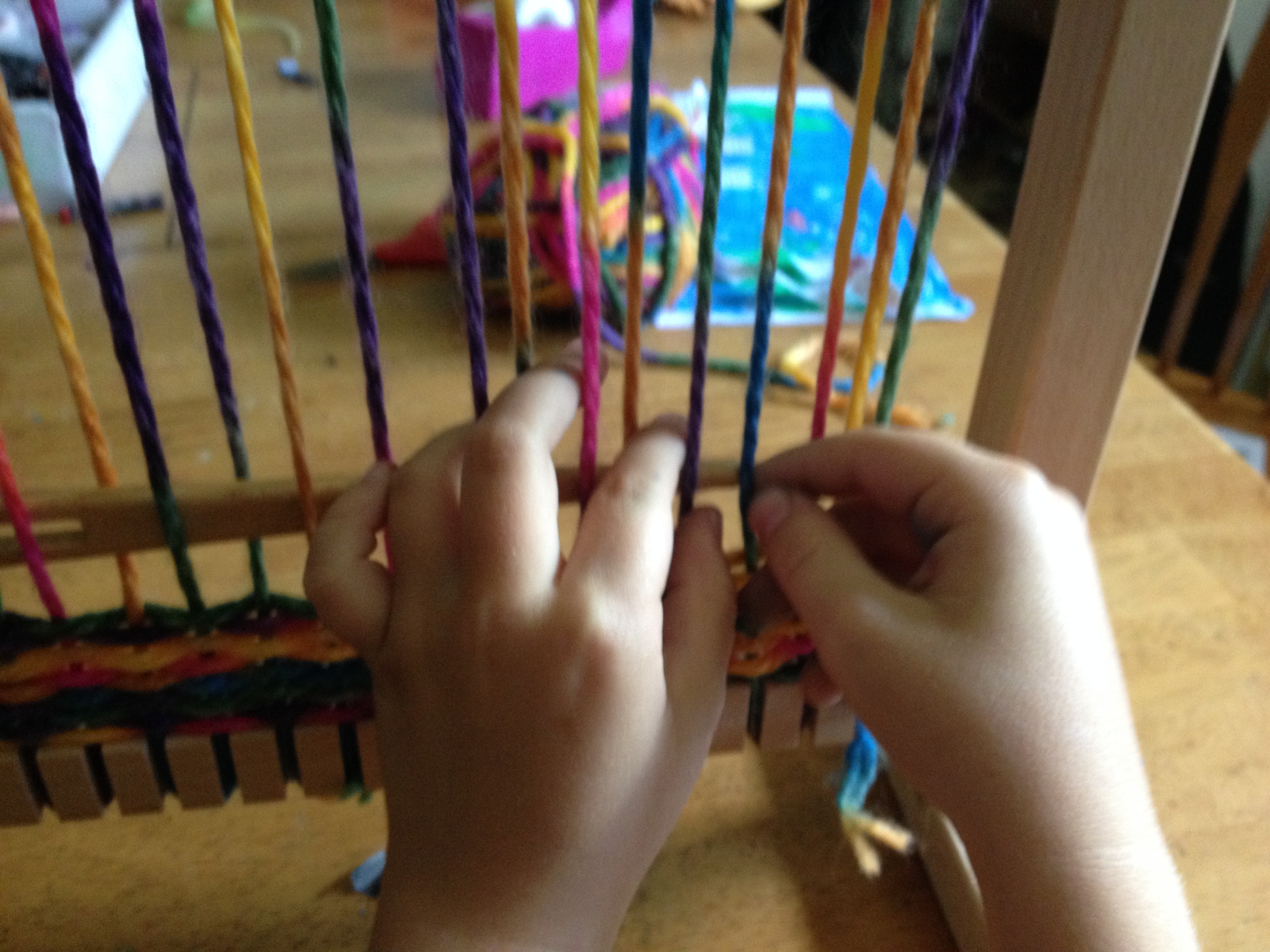
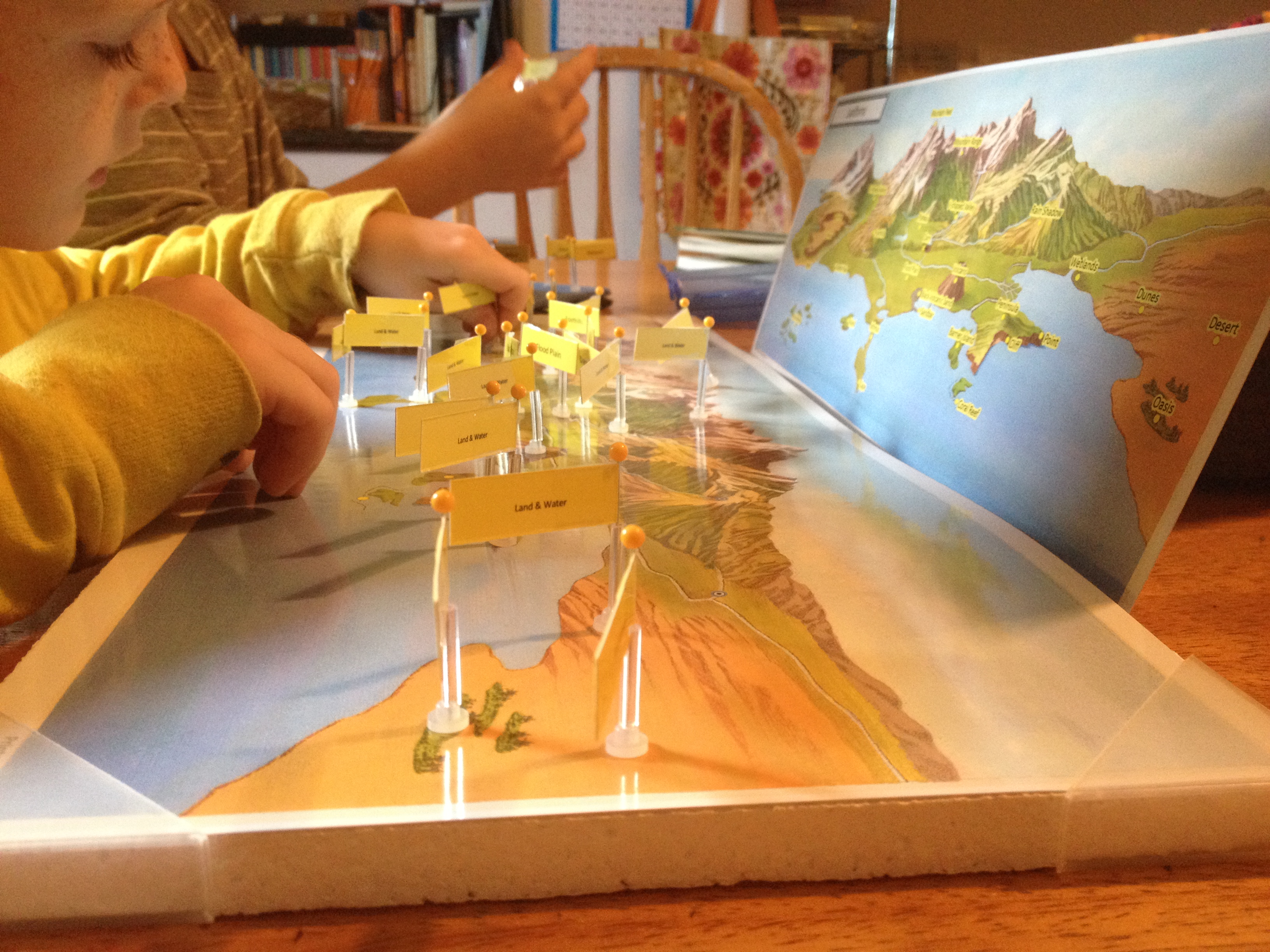
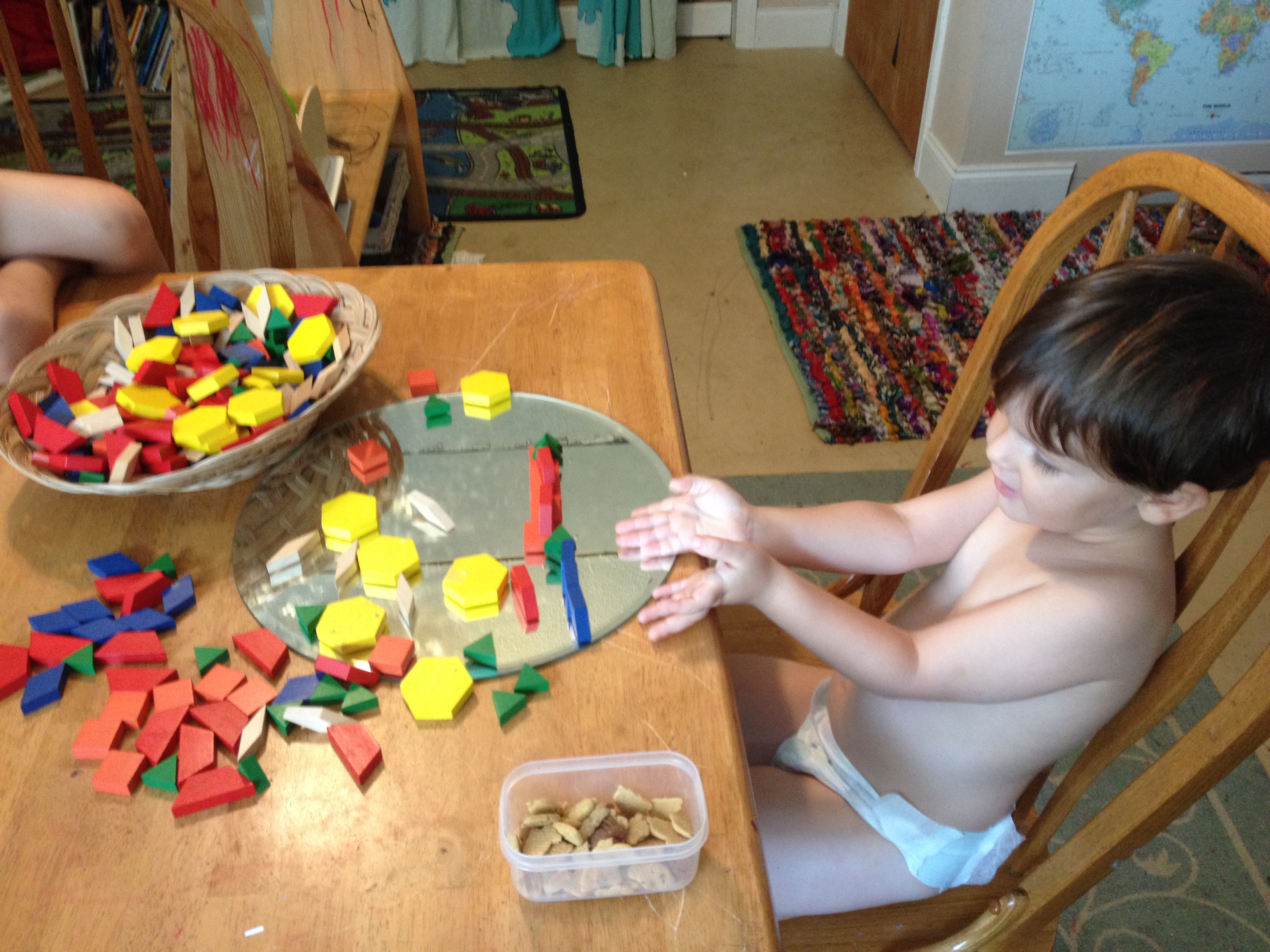
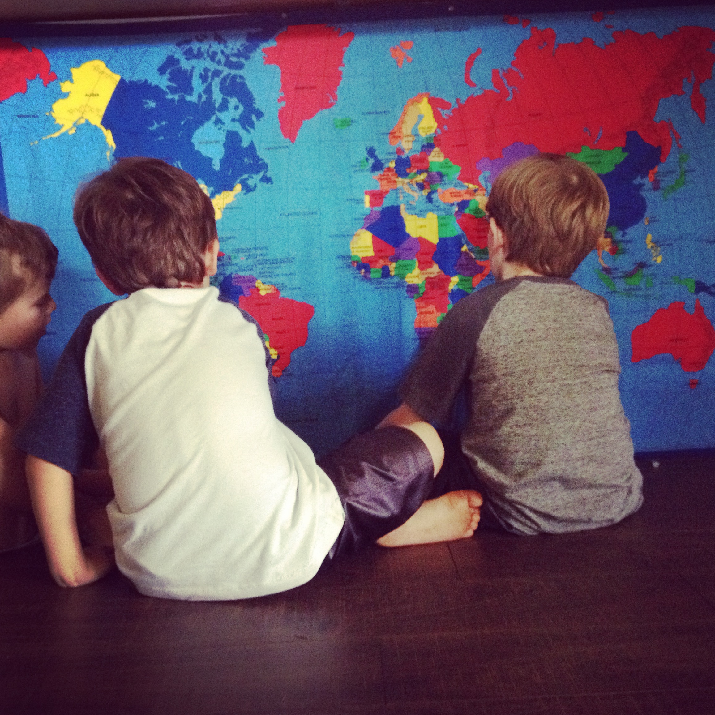
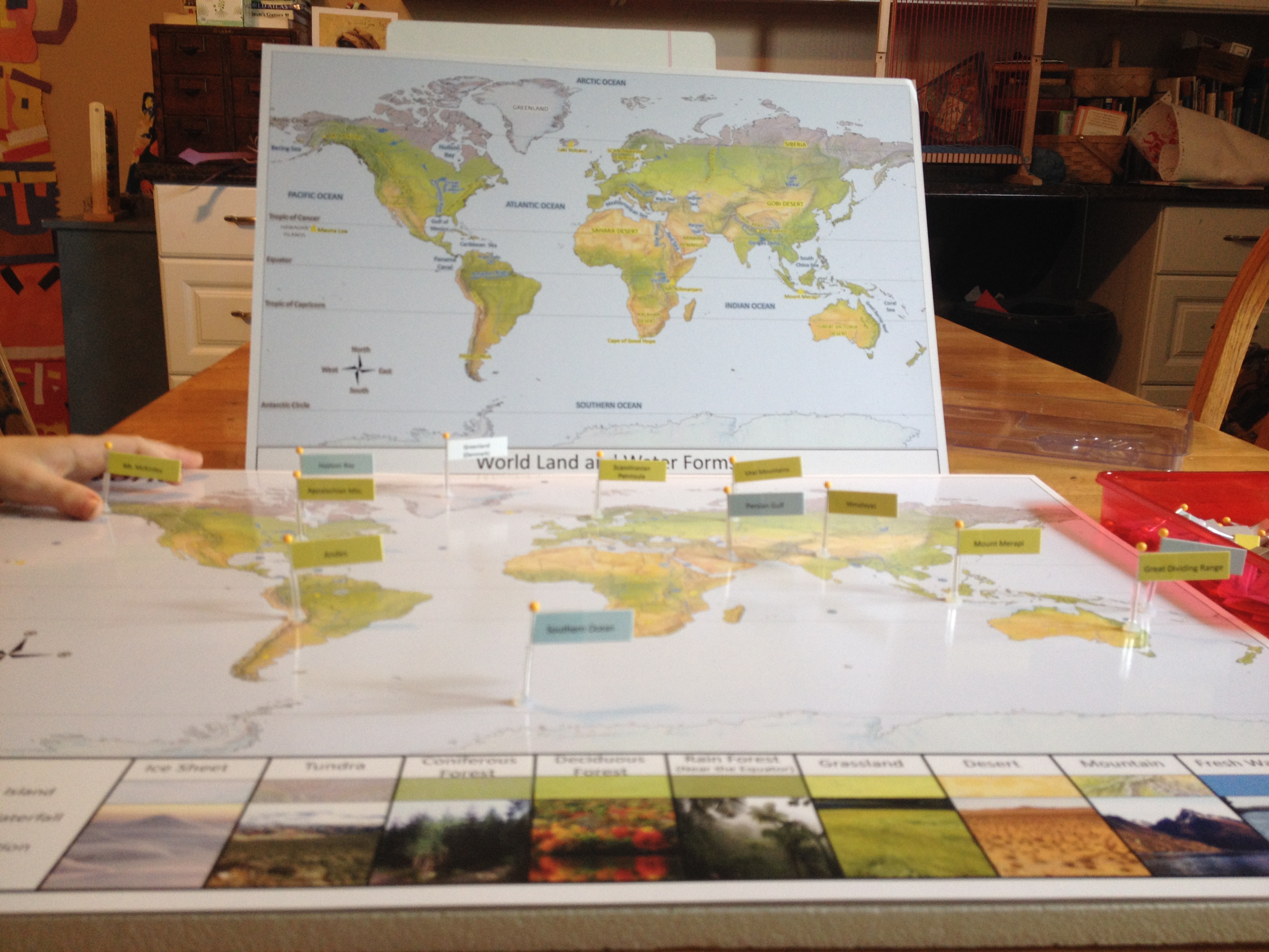
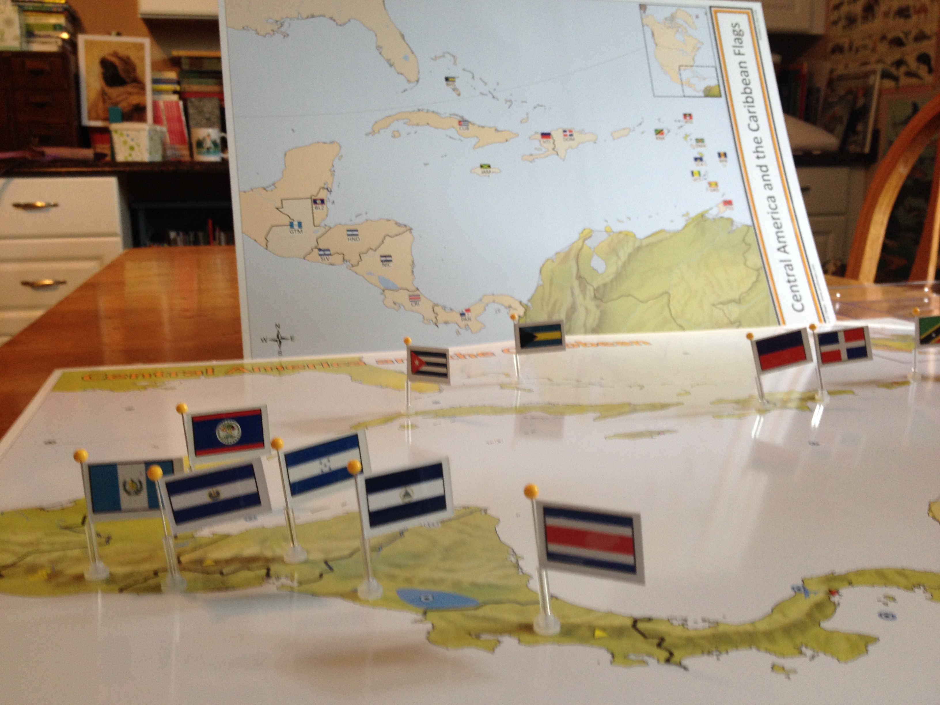
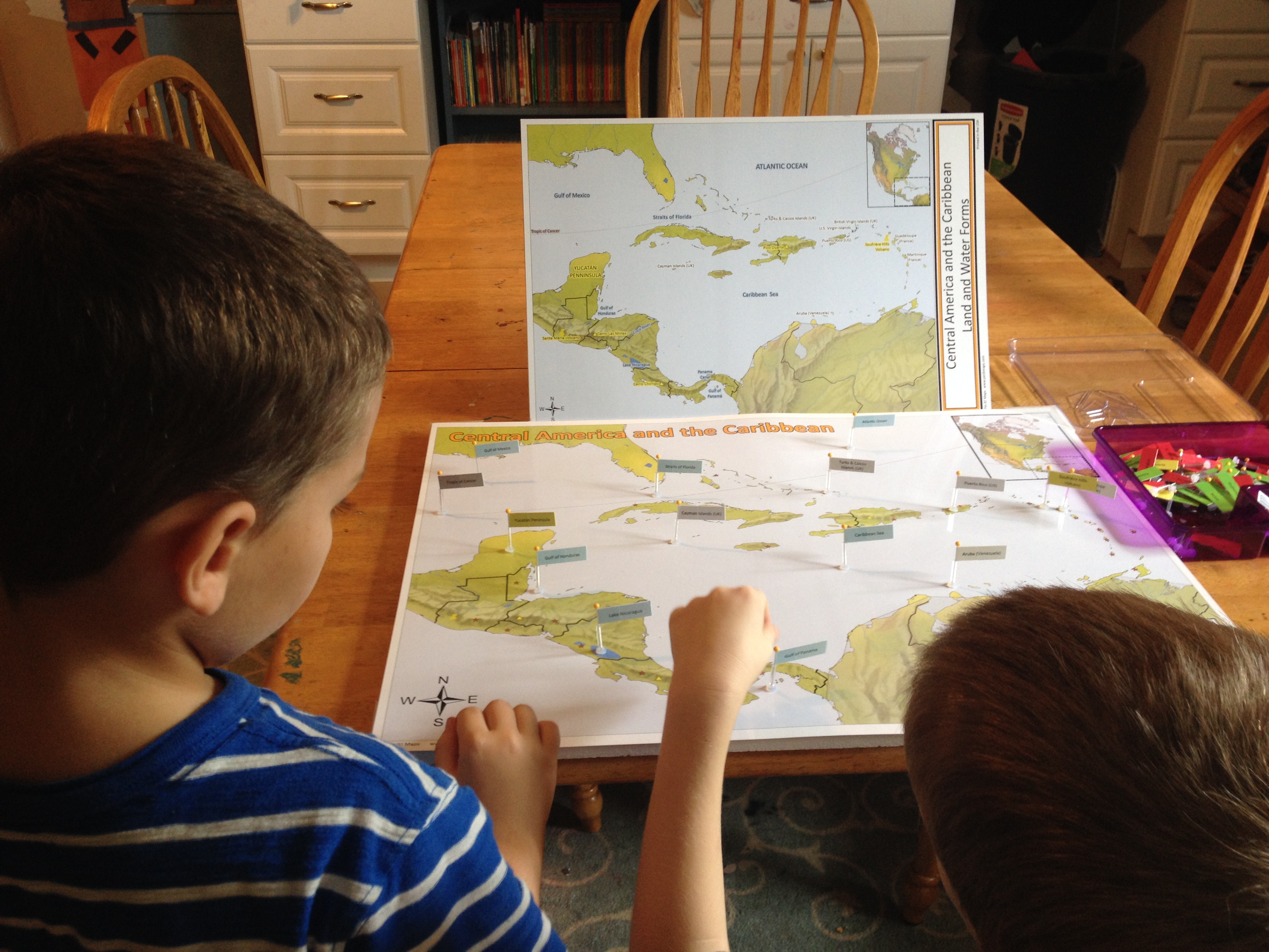
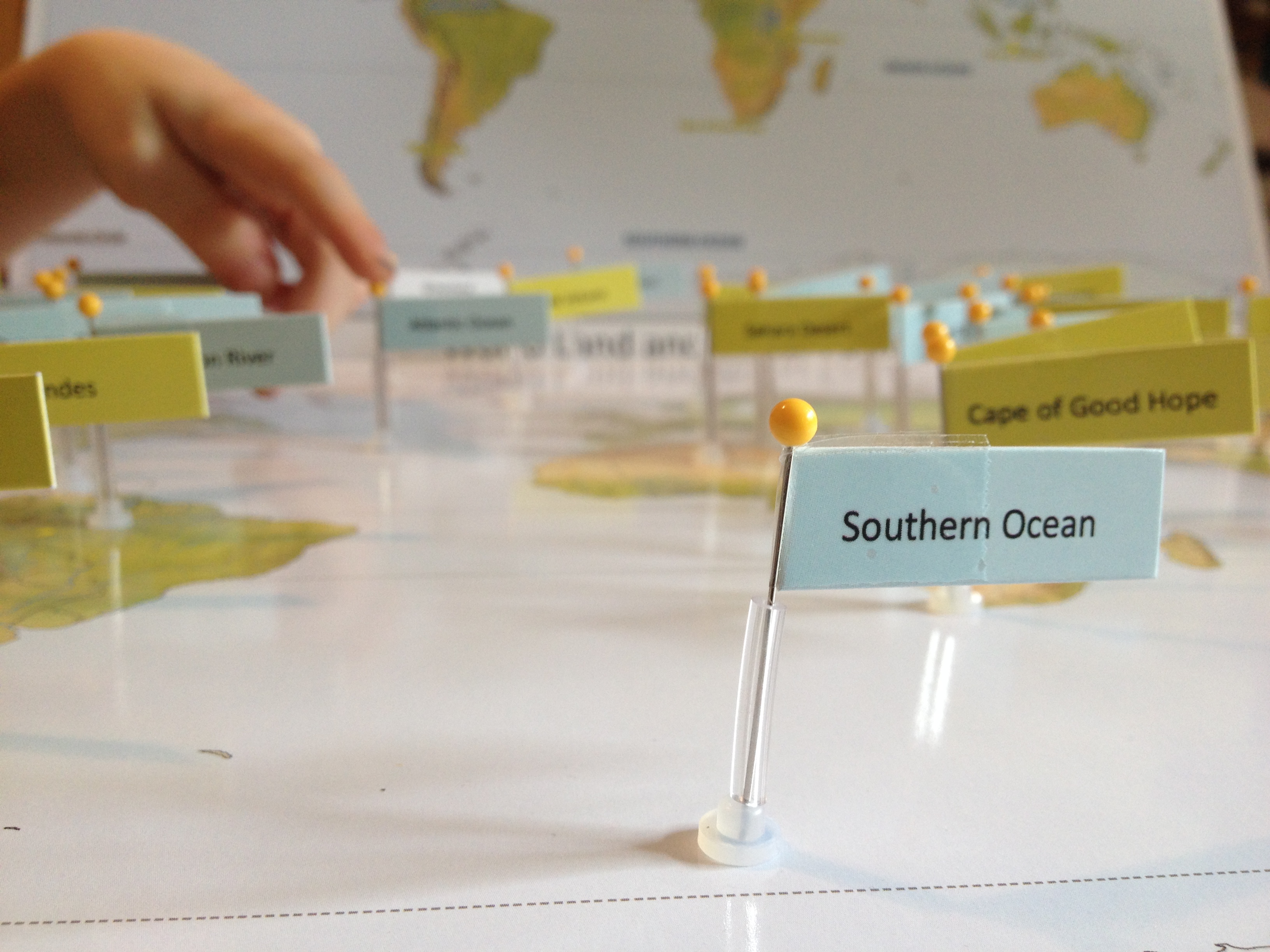
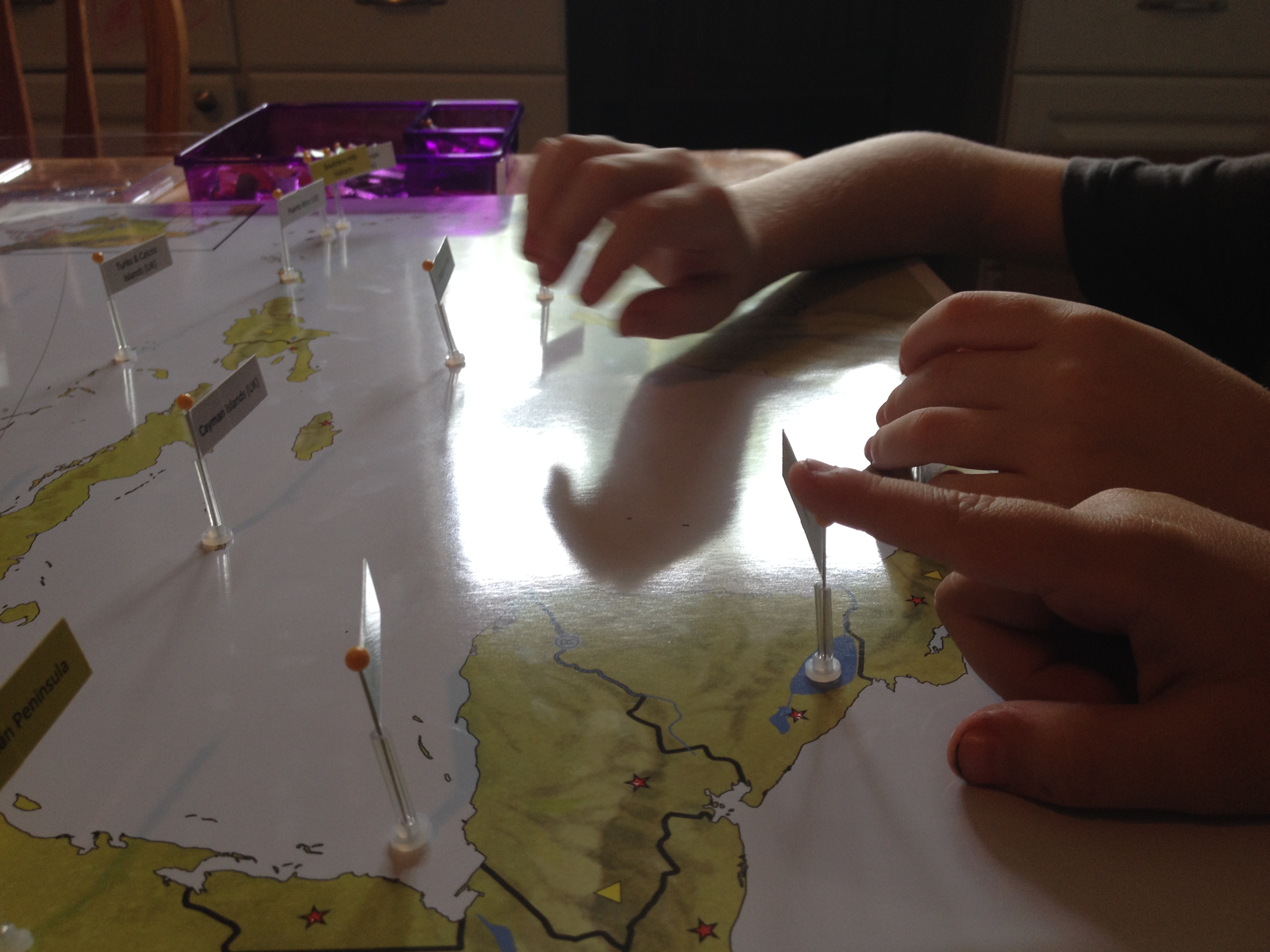
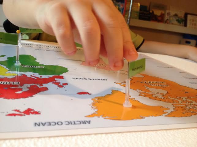
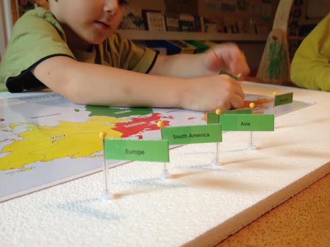
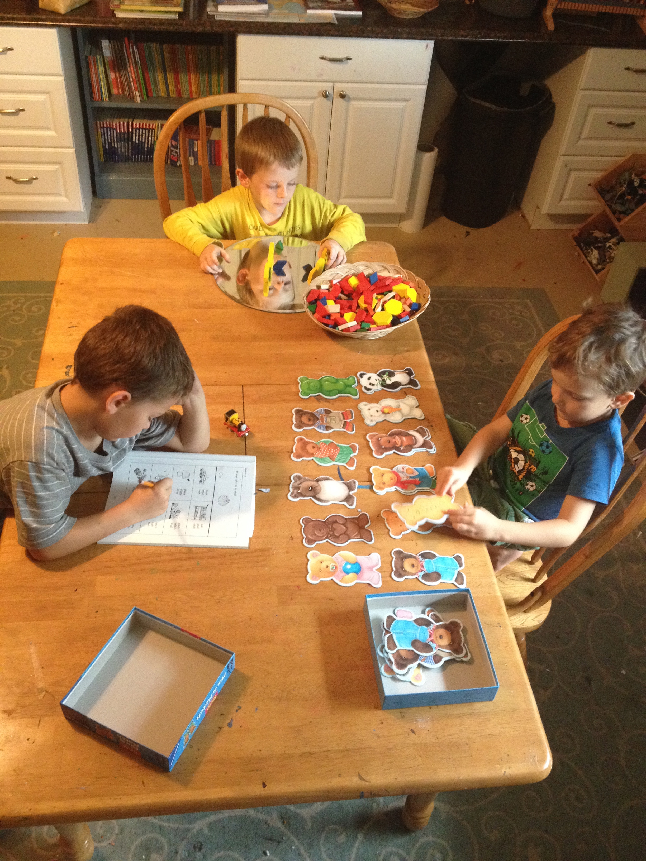
Woo-hoo! Something that is not a stick figure. SUCCESS.Whenever hands became cramped we would return to pattern play or working with our lovely Land and Water Forms Map. (10% off Promo code: farm now extended till 9/30/15)

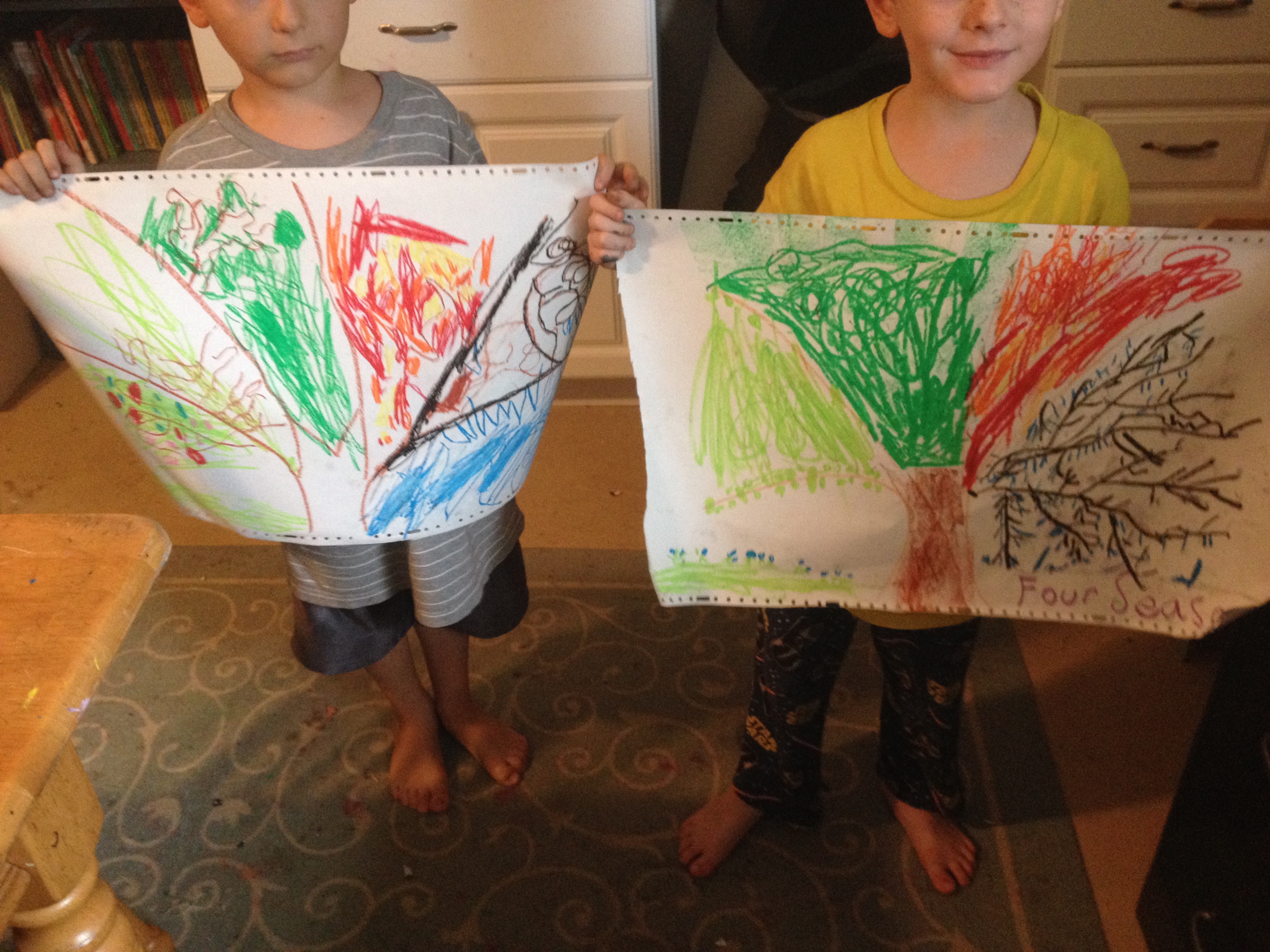
 We saved all of our science to do on one day. On Friday we sketched out our trees and leaves. We read “The Reasons for the Seasons” by Gail Gibbons. I set out our Montessori months of the year cards and tried to explain the concept of seasons to these southern-raised one season boys.
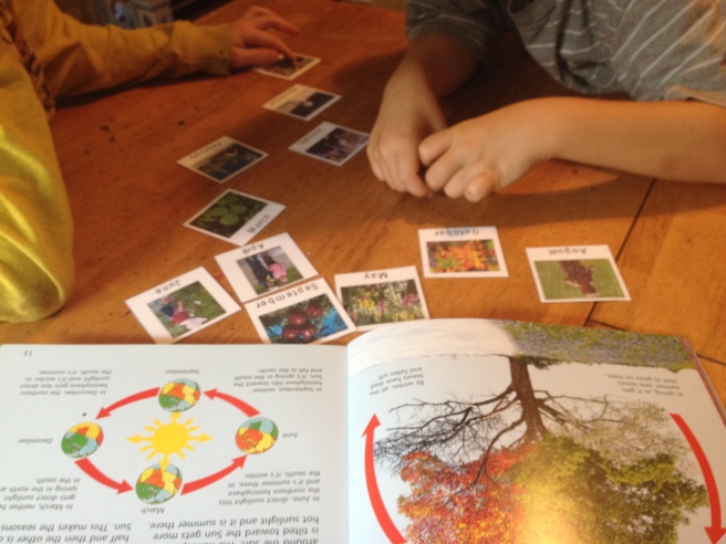
 Unit 9 is done!Now we await a tropical storm and next week’s unit on THE AMERICAN REVOLUTION!